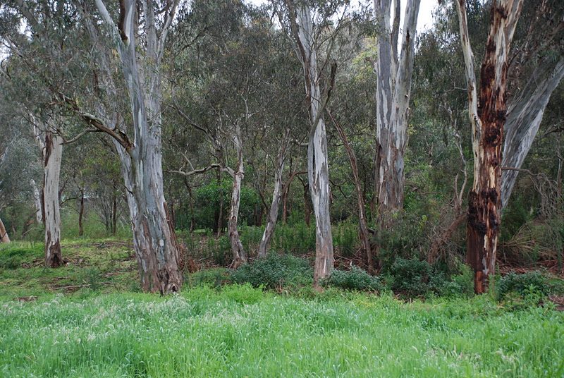
Thank-you to every-one on this trip for a remarkable tour
through Werribee Gorge.
Just thought that sharing a few photos might be nice.

through Werribee Gorge.
Just thought that sharing a few photos might be nice.

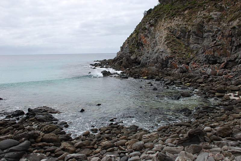
There were so many points of interest including coastal views,

beaches,

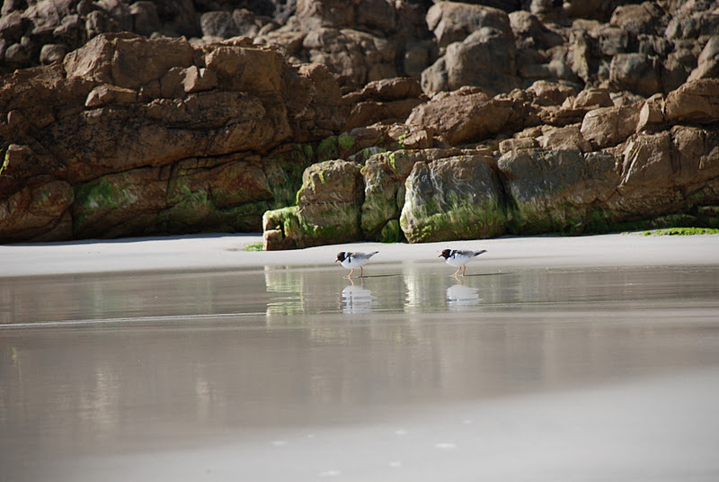 |
| Hooded Plovers |


remarkable geology,


outdoor caves,
 |
| Admirals Arch |
lighthouses,
 |
| Cape De Couedic Lighthouse |
 |
| That cannon kept the Russians at bay |
 |
| Cape Borda Lighthouse |
cliff tops views,


rocky coves,


flora,
 |
| Common bearded orchid |
 |
| Spider orchid |
 |
| Native Garden |
 |
| Pink fairies |
fauna,
 |
| Skippy Roos |
 |
| Sea-lion |
 |
| Echidna |
 |
| Koala |
 |
| Goanna |
indoor caves (Kelly Hill Caves),


lagoons with reflections,

lagoons without reflections,

and of course great walking opportunities!
 | |||
| Snake Lagoon Hike |
 |
| Freak waves from South America! |
 |
| Freak waves from Australia! |
 |
| Woodlands along Hanson Bay walking trail |
 |
| Views from sand dunes |
 |
| River views |
 |
| Southern Ocean views at the end of the track |
 |
| Harvey's Return |
 |
| A walk through regenerated farmland |
 |
| Billy Goat Track |
and of course,

great company!
Well done to those who have noticed that these photos are not of Werribee Gorge.
They are in fact of Kangaroo Island.
Here is some brief information about KI.
Kangaroo Island is situated of the south coast of South Australia. It is 155 kms long and 55 kms wide and is Australia's third largest island. Matthew Flinders first sighted Kangaroo Island in March 1802 on his tour of exploration and proclaimed the island for Britain. Only days later, the French explorer, Nicholas Boudin showed up. Missing the opportunity to claim the land for France, he spent a summer mapping and naming the coastline of Kangaroo Island and South Australia. Many of the names Nicholas gave significant land marks still remain.
Kangaroo Island became separated from Australia after the last ice age as the waters in the oceans rose. This allowed numerous bird and animal species evolve in isolation to those on the mainland. The Island is home to unique species of kangaroo and wallaby, echidna and emu. Sadly, the shortened version of emu died out after sealers started using the island to hunt seals and other animals.
The Island has over 20 conservation parks, wilderness protection areas and national parks which offer a diverse range natural bushland, wetlands and untouched wilderness to visit. There are over 25 designated walks and hikes ranging from short ambles to strenuous over night hikes.
KI is a great place to visit.
Stay tuned for Part 2 of the Werribee Gorge walk!

A walk through a Victorian geological wonder!
If you can't wait for Part 2, skip on over to Hiking Fiasco
and enjoy Greg's tour of Werribee Gorge.
Walkabouters Club of Victoria Inc.
A0019863A