I'm sorry. I lied. I advertised this walk to be about 10 - 12 kms in length. I wish to apologize now to all those who may have sustained sore feet, aching leg muscles and any blisters during today's walk. However, as promised, there was only 3 up hill climbs. The one after lunch does not count because it's always uphill after lunch!

Our way was barred from the beginning! The gates to Silvan Reservoir Park were locked due to industrial action being taken by Parks Victoria employees, so we could not access the parking lot and other useful facilities such as toilets.

But we did not let this deter us from our adventure into the sylvan glades. We parked in the overflow car park, which was not overflowing with cars but with recent rain water.

We didn't hang around in the car park for too long as it was a chilly 6 degrees and were keen to get moving and warm up our nearly frozen limbs.

We followed Grey track from the car park, through the forest and clambered over many fallen trees, to a track we then joined to cross the Olinda Creek. The creek was full and flowing fast.
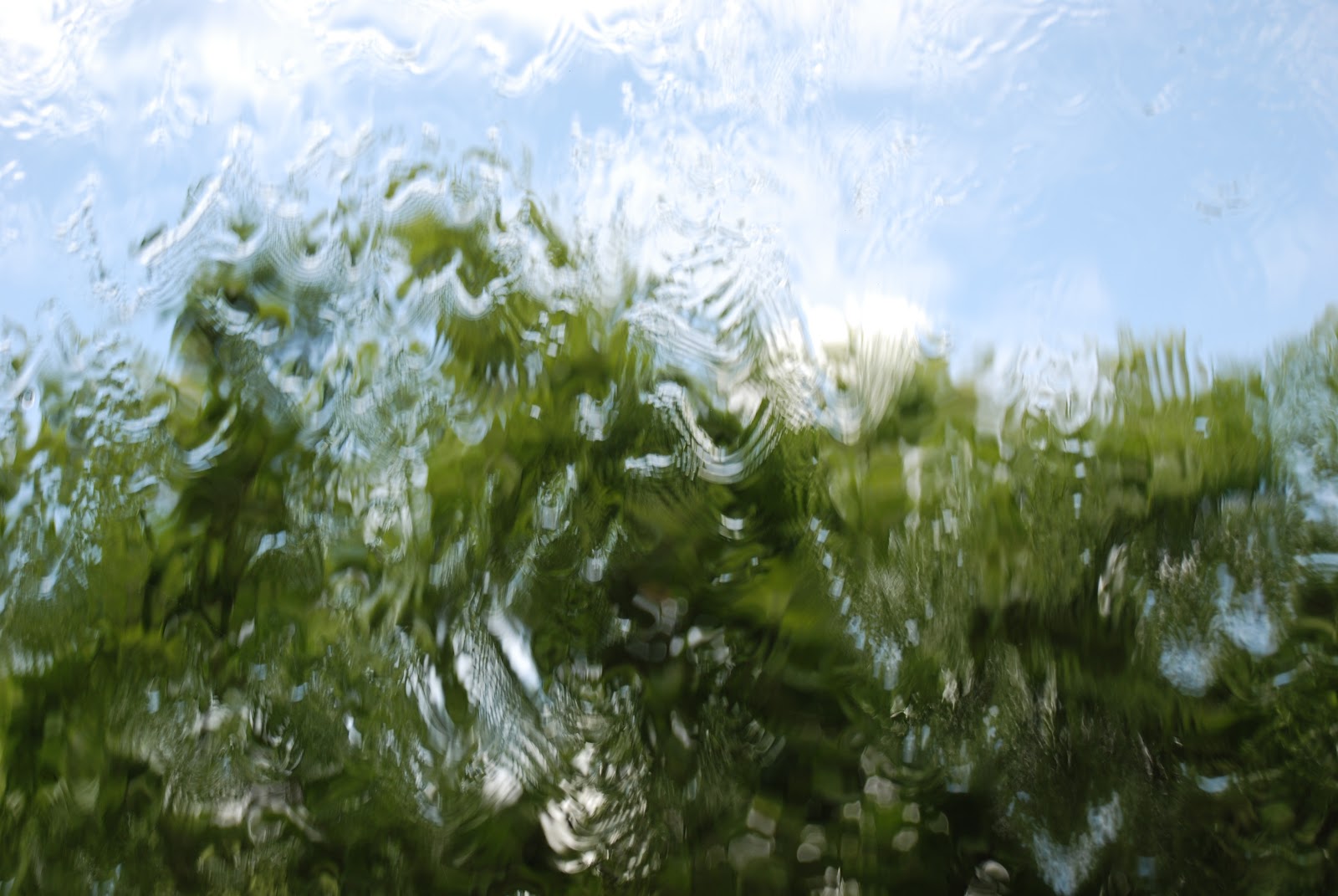
 |
| The full and fast flowing Olinda Creek |
We then walked in a southerly direction along Track 11. Everyone was really pleased that we did not walk up a very steep hill, just to look at a very big tree stump that still showed the marks of early pioneer tree fellers.
 |
| It was very steep in real life! |
The tall, straight trunks of Mountain Ash trees, were the timber of choice to be cut down to use a masts on the wooden boats and to construct early houses of the settle of Melbourne in the 1800's.
We continued along track 11 and then turned left right into track 18. This track followed the course of Olinda Creek.

Here are some photos of trees and a lot of green.

Track 18 soon ended at a tee intersection with Track 13. Unlucky for some but lucky for us we turned left instead of right, thus avoiding another long very steep climb and we crossed over the Olinda Creek again!
 |
| Narrow, overgrown Olinda Creek track. |
A short way along this track, we came upon a sign indicating the start of the Olinda Creek Track with arrows pointing both left and right. This was the second sign for an Olinda Creek Track we had seen this morning! Were we going in circles?!
We entered the very overgrown and narrow track, following the arrow pointing left.

The track took us east, through the dense undergrowth, all the while listening to the noise of the swiftly flowing Olinda creek getting closer and closer. We took note of a track veering off to the right that would take us back to our starting point, and continued east along the track, keeping the no visible Olinda creek on our immediate left hand side.
Shortly, we came to our third crossing of Olinda Creek (or maybe it was Lyrebird Creek). There seemed to be only 2 options here of getting across the creek. Option 1, taking off our shoes and rolling up trousers and submersing our legs into the freezing waters of the creek. Or option 2, navigating the moss covered log!
Neither options were very appealing!!

However, just around the corner was a 3rd and much more appealing option. Two sturdy wooden planks, covered in fencing wire to prevent slippage, were bridging the distance of the two banks of the swiftly flowing creek.

Fortunately, the water was not flowing over this conveniently constructed bridge,
so our crossing was very easy, and no-one got wet!

Now we left the creek behind us. We crossed over Olinda Creek Road, through some more undergrowth with hidden surprises (what was that rat doing just sitting there at the bottom of the tree?), across Silvan Road and onto Board Track.
 |
| Is that a rat in the grass?? |
Board Track is a very broad track the follows the fence line around the edge of the Silvan Reservoir. The fence is to prevent people accessing the shoreline and water catchment area of the Reservoir and contaminating the supply drinking water to Melbourne.

Glimpses of the reservoir could be seen through the fence and between the trees.
 |
| Glimpses of Silvan waters |
This track was very undulating as it it took us up and over the folds of the hillside that border the reservoir, creating a natural dam wall keeping the waters of various creeks at bay. The Sivan Reservoir is a like holding pen for water. It is linked by underground pipes to larger reservoirs situated further east in the Yarra Ranges. Water may be pumped backwards and forwards between these reservoir, regulating water levels and supplies to Melbourne and surrounding townships.
We continued Board track until we came to Gate 63 and thus avoiding another very long steep climb and turned left, crossed over Silvan Road again and onto Bulldog Avenue. Now we were on the downhill walk to lunch. Bulldog avenue took us to Prices Avenue and we turned right and kept walking until we came to Chamberlain Track where we turned left. This track then joined Eagle Nest Road which we followed to the right and...
 |
| Ooh! What's that? |
finally, we made it to Eagles Nest Picnic Ground and had a well earned lunch break.

After eating and listening to ghost stories, we got moving again before our legs stiffened up too much from the cold.
At this point, everyone was wondering how much further was back to the cars, including the leader!
(I would like to point out here, that the leader new exactly where we were and which way to go but just didn't quite know how far was left to walk!)
(I would like to point out here, that the leader new exactly where we were and which way to go but just didn't quite know how far was left to walk!)
So with the cry, "it's not far now", we crossed over Lyrebird Creek (again?!) and walked along Hermons Track and then turned right onto Georges Track. Georges track lead us up 'the uphill after lunch' and eventually down to Olinda Creek Road. We crossed over this road and joined the start of Track 13.
Oh, we were walking in circles!!
Oh, we were walking in circles!!

Walking along Track 13, we passed the nearly invisible Olinda Creek Track, crossed back over Olinda Creek and turned right into Track 18. Now, we retraced our steps until we came to the junction with Track 11. This time we turned right, crossed over Olinda Creek, yet again, and then completed the short up hill slog on the horse trail that follows along next to Stonyford Road back to our cars and the overflow car park.

So how far did we walk??

Well, click on this link here and find out!
To the two brave and courageous Walkabouters who came along with me on the walk today, thank-you for your company and for not complaining too much about sore legs and miss advertised distances.
I will make sure I use my piece of string on any future reconnaissance trips!
And well done to all those sensible Walkabouters who stayed inside today
to keep nice an warm and those who have found warmer climes!
Mmm...time for a cuppa and to put my feet up.
Looking forward to seeing you all at that the next walk in Lerderderg Gorge.
Walkabouters Club of Victoria Inc.
A0019863A