Today we walked along the Dandenong Ranges Tourist Track from Sassafras to Butterfield Conservation Reserve, near Emerald.
The track lies in the heart of the Dandenong Ranges National Park which is located 35 kilometers east of Melbourne. The Ranges extend from Mt Evelyn in the north and peter out several kilometers beyond Belgrave in the south.
The track lies in the heart of the Dandenong Ranges National Park which is located 35 kilometers east of Melbourne. The Ranges extend from Mt Evelyn in the north and peter out several kilometers beyond Belgrave in the south.
 |
| Photo sourced from the net. |
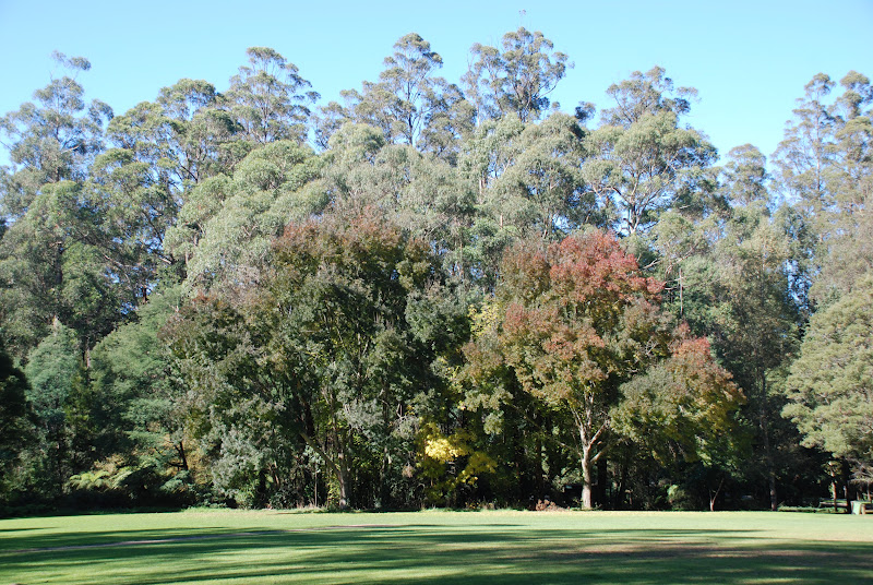
The highest peak is Mount Dandenong, at a whopping 633 meters and is
closely followed by Mount Corhanwarrabul at 628 meters.
(Mount Corhanwarrabul? You know, the lumpy bit to the left with
the transmission towers on top! see above photo)
the transmission towers on top! see above photo)
Not too impressed with the scaly heights of this mountain range?
Just remember, the Dandenong Ranges are the remains of an ancient volcano.
The township of Olinda, near the summit of Mount Dandenong, is where over 300 million years ago, the volcano erupted sending extensive lava flows to the east, west and south.
The Ranges do not look like a volcano anymore. This is due to 300 million years of weathering and erosion from the actions of many streams many streams that flow through ancient landscape.
 |
| Mount Corhanwarrabul |
The actual Dandenong Tourist Track extends 17 kilometers commencing at Sassafras and ending at Emerald or the other way around if you so desired!
Many parts of the track may have originally been 'cut' to allow timber loggers to access wood for saw mills and prospective gold miners seeking their fortunes in the gravel beds of the numerous creeks in the forest. In the late 1800's day-trippers and tourist from Melbourne also used these tracks to explore nature and experience the bush. Hence the name Tourist Track. This track purports to follow in the early tourist's footstep.

We followed the track as it descended steeply away from the township of Sassafras.
The track soon leveled out and we found ourselves walking beside the swiftly flowing Sassafras Creek.

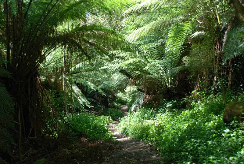
We followed the Sassafras Creek through fern gullies and beneath tall gum trees.

Our morning tea spot was at Beagleys Picnic Ground within a stones throw
from where Australian poet, C.J. Dennis, once lived.

After crossing Beagleys Bridge, we walked along the track following the Sassafras Creek as it babbled gently over rocks and tree trunks on its continual journey.

We passed through several other picnic grounds where we were tempted by the smell of cooking sausages, frying onions and refreshing beverages.
Eventually we reached Baynes Park in Monbulk and were greeted by waiting friends

bearing treats from a local patisserie!

Mmm...yum!
We also ate our sandwiches.

After lunch we continued along the track following the creek. A pair of white-tailed black cockatoos momentarily took an interest in our passing before taking to the air.

A few kilometers along the part of the track, we past the confluence
 |
| Lush undergrowth of Tradescantia fluminensis....uuugghh!! |
of Ti-Tree Creek, Woori Yallock Creek and Sassafras Creek.

It wasn't long before we reached our destination, Butterfield Conservation Reserve.

After a quick check for leeches, we climbed into the waiting cars
for the drive back up the hill to Sassafras.
Seven Walkabouters and one guest enjoyed this walk on this bright Autumn day.
It was decided that we must have walked about 13 kilometers because the pedometer said so (and our feet were sore enough) even though there was another 6 kilometers left in the 17 kilometer journey to reach Emerald. A journey for another day!
Walkabouters Club of Victoria Inc.
A0019863A